หมายเหตุ : นี่ไม่ใช่โพสรถยนต์ไฟฟ้าครับ ผมเอาเว็บ Blink Drive เขียนส่งงานอาจารย์ครับ skip ได้ skip เลยครับ แต่ถ้าใครอยากศึกษางานที่ผมทำก็เชิญเข้ามาอ่านได้ตามอัธยาศัยครับ นี่เป็นโปรเจคกลุ่มในการเอาภาพถ่ายทางดาวเทียมมานั่งแกะหาเส้นต่างๆ และ generate ถนนออกมาจากภาพครับ กำลังปั่นอยู่ครับ ยังไม่เสร็จ
This post is built to keep the history of the road detection experiment via MATLAB tools, CSCE 5222 [MATLAB] at Artificial Intelligence, UNT.
Here is the code for this project : Github
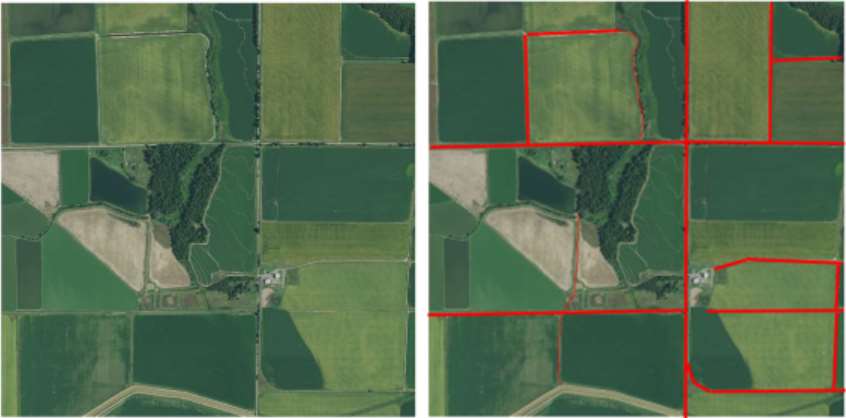
1. Dataset : Ground Truth Image
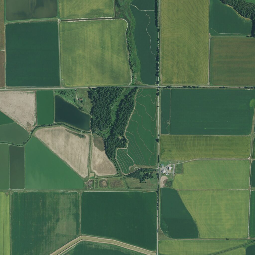
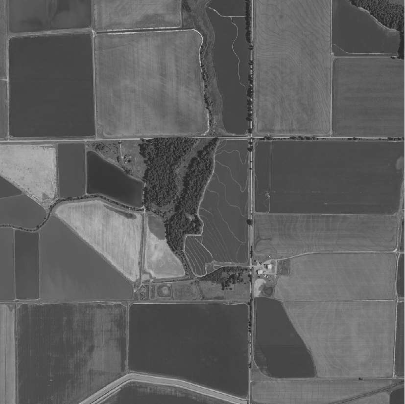
2. Convert to Grayscale Image
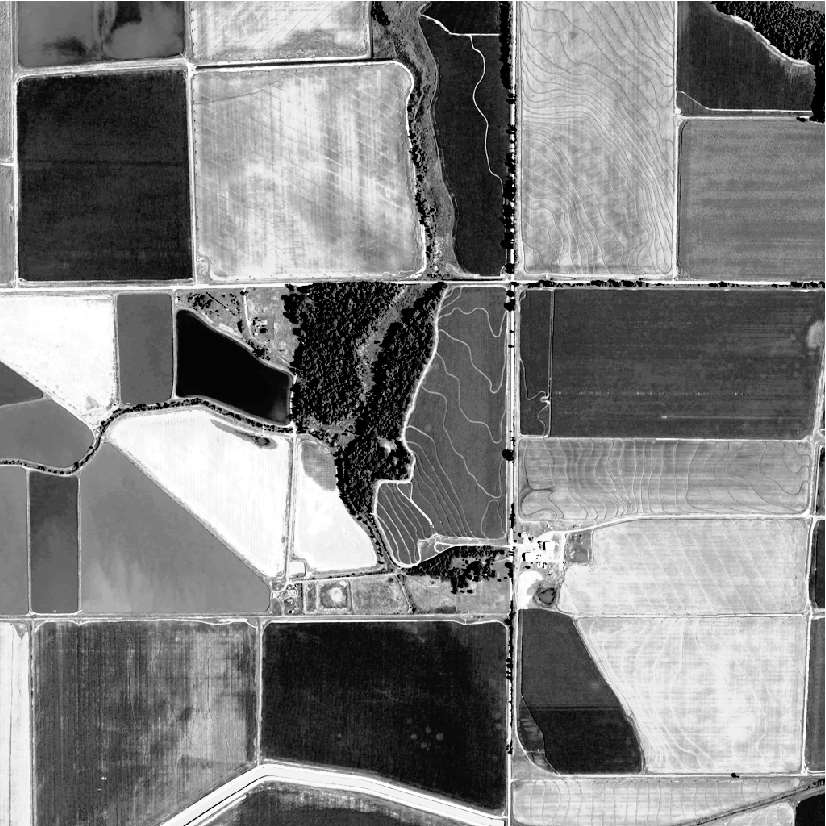
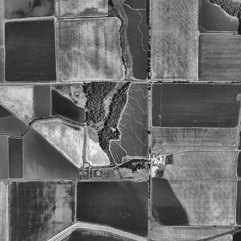
3. Contrast Enhancement
This feature is apply the contrast enhancement into grayscale image.
Enhanced01 : First Enhanced : 10/6/22

4. Apply Filters
Filter Detail :
- Sobel : Default
- Canny : Threshold 0.25
- Log (Laplacian of Gaussian)
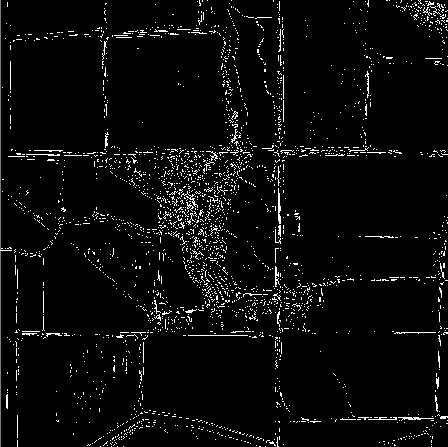
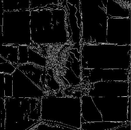
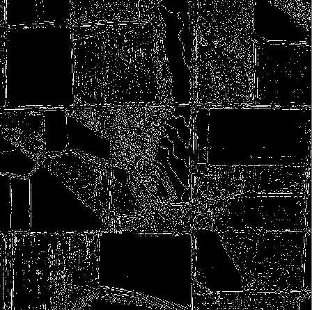
We experiment by applying the filters in each images from above.
Filtered01 : Grayscale Image
- Original : Grayscale Image
- Apply Date : 10/02/22

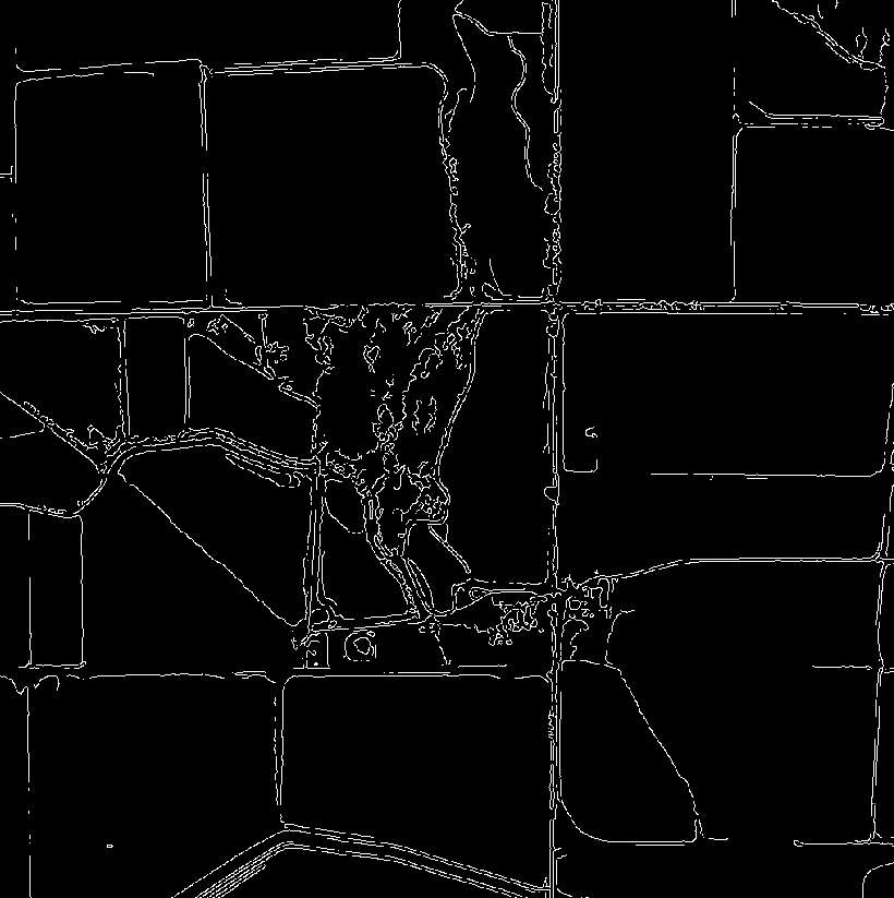

Filtered02 : imadjust Image
- Original image : imadjust : Adjust image intensity values or colormap
- Apply Date : 10/06/22
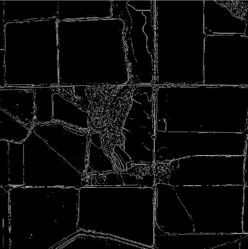
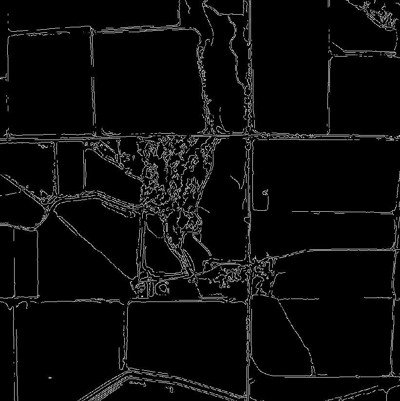

Filtered03 : histeq Image
- Original image : Histogram Equalization : equalize the image histogram
- Apply Date : 10/06/22
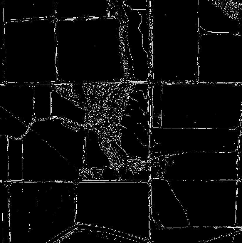
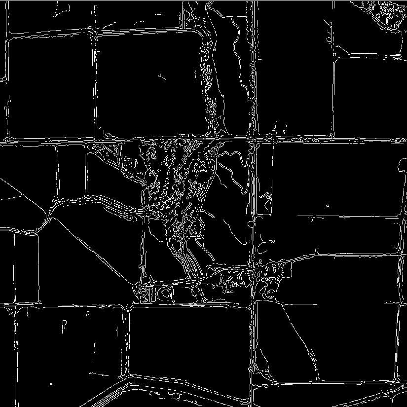

Filtered04 : adapthisteq Image
- Original image : Histogram Equalization : equalize the image histogram
- Apply Date : 10/06/22
